Bald cypress and water tupelo stand knee‑deep in the blackwater, thick at the base, knees poking up like they’re stretching after a long nap. Red maples, sweetgum, and beech lean in from the banks, each one trying to get a better look at you. And every now and then, a big live oak appears on higher ground, draped in Spanish moss like it’s wearing its Sunday best for no one in particular.

A pair of mallards skims across the surface just to our right, they are weaving their way through strainers from a fallen tree. A great egret stands in the shallows, bright white and impossibly tall, giving you the kind of slow side‑eye only a bird with legs that long can pull off. Turtles line up on fallen logs, sliding off one at a time as you drift past — the Edisto’s version of a polite Southern goodbye.
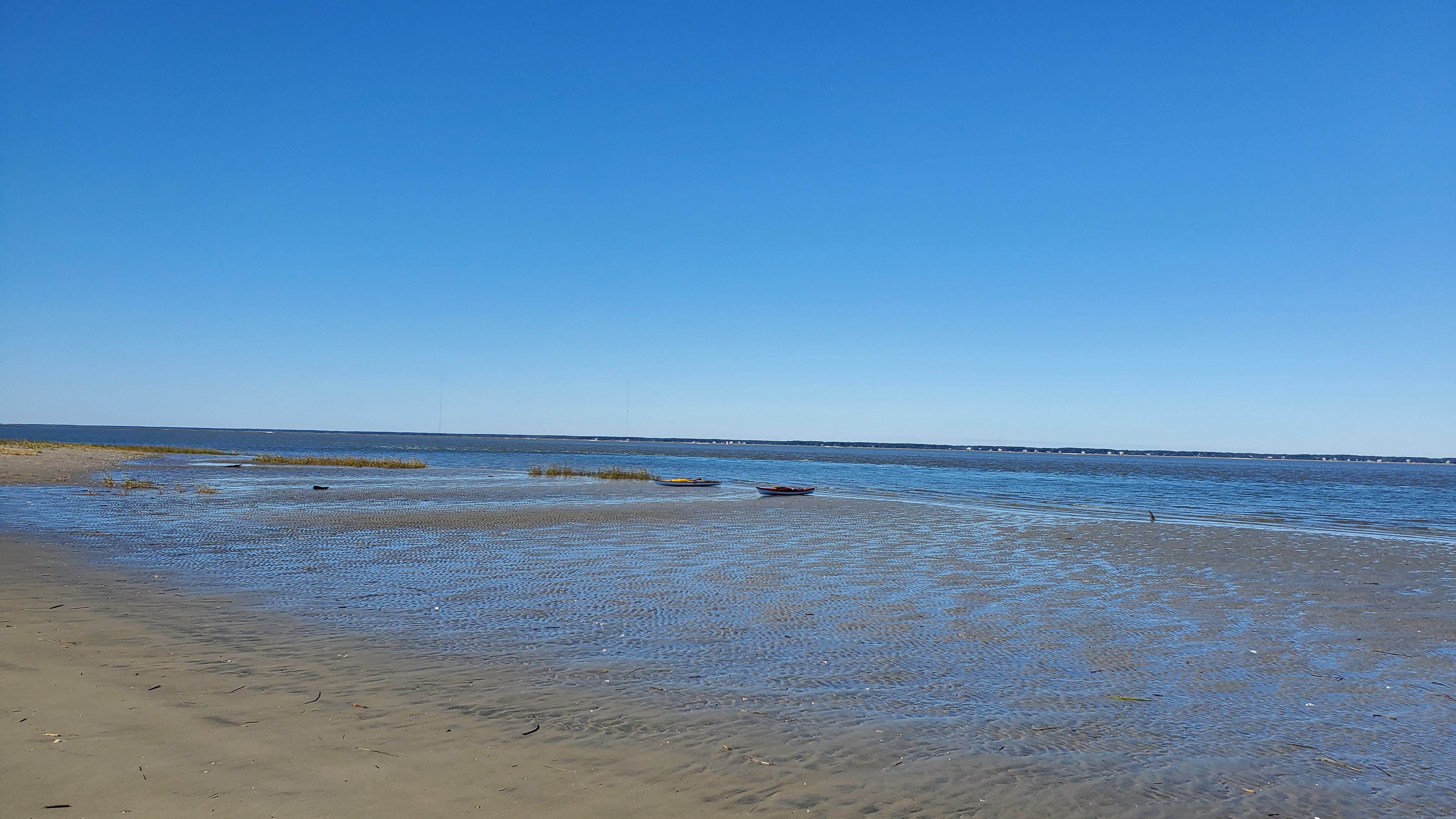
The trip to Martin’s Landing was a little over 20 miles. Somewhat due to some back tracking as I waited on Gusto to clear the mud from his shoes. Moreover, this completed another significant section of the river as we work toward the coast.


.jpg)